Distance

There is a very short climb right away, but this is the only climb on the trail.
The trail plateaus briefly before dropping back down to river level.
At the bottom of the hill, the trail splits. Go left, obeying the sign directing you to RIVER TRAIL.
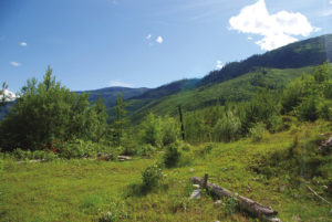
Shortly after you’ve taken this left fork, the path opens into a large clearing, and within a few minutes it heads back into the cover of the forest.
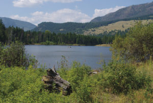
The trail is wide and well travelled, an enjoyable stroll along the north bank of the Adams River.
At roughly 1 km into the hike, the first of two prominent lookouts veers slightly away from the trail, providing a spectacular view up the river. The second vantage point is another five minutes up the trail.
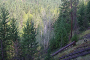
The path then leaves the riverside for a while, wandering into a forest of pine and spruce until it arrives at a fork approximately 2 km from the trailhead. Take the left fork, marked RIVER TRAIL AND CANYON.
The accessibility of the bluffs overlooking the gorge depends on water level and time of year. Your proximity to the rushing water as it funnels through the canyon is breathtaking, especially during high-water months. You are close enough to feel the spray, the pounding of the water and the slightest sensation of danger.
The River Trail that continues beyond the gorge is a 4 km walk, but the canyon is definitely the highlight. Regardless, this is not a loop trail, and you must return the same way you came.
Directions
From the village of Chase, travel east on the Trans-Canada Highway for 10 km until you reach the turnoff to the North Shuswap region. This right-hand turnoff takes you onto the Squilax–Anglemont road. Drive this road for 4 km to reach a frontage road called Raft Pullout Rd. Park in the lot at the end of this short frontage road.