1.5 km round trip
Distance
NominalElevation Gain (m)
EasyDifficulty
This is by far the shortest hike in this guide, but it has some of the most interesting vegetation in the province. The falls are at the end of a closed canyon with high vertical walls that allow only limited sunlight. The soil, the moisture from the falls and the canyon’s ultraviolet shield are ripe growing conditions that have produced colossal trees, and the dominant variety here is cedar. Gigantic Douglas firs also inhabit the canyon. Both of these monsters are thick and tall. The moist canyon is a breeding ground for forest-floor species as well, including thimbleberry, mosses and foamflower.

The perpetually swift waters of Reinecker Creek eventually uproot many seemingly stable tall cedar trees.

The interpretive trail is easy to follow, as it is railed with chain rope. The first sign you will read explains the purpose of the rails of chain: too many tourists have gone off-trail and trampled the delicate forest-floor ecosystem. Many have climbed the fragile trees that lean over the creek, wearing away the bark and leaving exposed, unprotected wood. Some visitors have even climbed the canyon walls, eradicating rare plants that cling there. In an effort to preserve this beautifully unique niche, it has become essential to confine visitors to the trail.

The path shadows Reinecker Creek, crossing it about three times before reaching the falls. Of course, the water level varies significantly depending on the time of year, but the constant seems to be a slow, easy flow. Considering the noise and heartfelt pounding of the falls a short distance away, the leisurely passage of the stream fails to prepare you for what lies ahead.

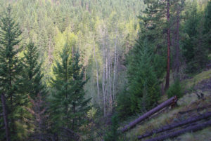
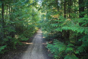
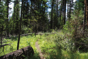
As mentioned, the trees in this canyon are enormous. Several have fallen, yet even uprooted they insist on living; they lean on the canyon walls like huge ramps up to the rim. Most are towering, broad suppliers of abundant shade, rendering the stroll cool and dank, yet refreshing.

At the end of this short, fascinating journey, the trail becomes a wooden platform, soaked from the constant spray of Margaret Falls. Be careful your camera doesn’t get wet, and more importantly, watch your footing on the slippery planks.

Directions

From downtown Salmon Arm, travel west on the Trans-Canada Highway for 15 km and turn right onto Sunnybrae Canoe Point Rd. Drive 11.2 km to arrive at the Margaret Falls parking lot, on the left side of the road. From the parking lot, follow the marked path to Margaret Falls, which initially heads downhill.

Hike Map
Gerry Shea

Gerry Shea

Gerry Shea lives in Kamloops with his wife and children and he is also the author of The Aspiring Hiker’s Guide 2: Mountain Treks in British Columbia.

Submit a Comment

Your email address will not be published. Required fields are marked *