Distance

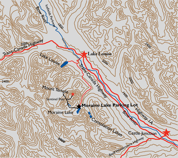
The apex of Sentinel Pass is in sight long before you reach it, and the long, arduous switchbacks become visible as you get closer. The Sentinel Pass crest has gained you 746 m, leaving 929 m left to climb. It is here that you may concede there is too much more work to do, but if you wish to feel pure jubilation and triumph, and see what very few people on the planet have seen, then pick up and carry on. This is an experience like no other in your life.
The path courses up the southwest slope on scree trails marked by too many cairns for about a half hour until it comes to the only intimidating part of the entire trip. You should wear a helmet here, as there is loose rock all around. Whether a hiker is going up or coming down, the risk of someone dislodging a rock on your head is very real. When you arrive at an impasse that is about 10 to 15 m high, there are two possible approaches. The first one is a clearly visible hand-over-hand climb up a well-worn route that is easier than it looks. It is a good idea to take a length of rope on this trip to haul your daypacks up and down this bluff. The second option is a narrow crack in the left side of the wall, which has far less exposure but is tricky to find and harder to climb.
From here on up, for the next hour and a half, the route is a remarkable network of trails and switchbacks offering the grandest of views as you weave up the side of the mountain to the large summit. Breathing becomes markedly difficult because the air thins out, making the summit push somewhat longer and more laborious than it appears.
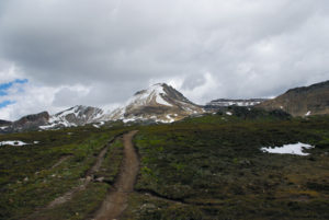
From here, the views are astounding as you look down on everything around you. To the southwest are Hungabee Mountain and Wenkchemna Peak with Horseshoe Glacier and Horseshoe Lake at the base of them. You can see forever from up here.
History
Walter Wilcox, with Samuel Allen and L.F. Frissell, first summited Mount Temple in 1894. In early August, they departed the Lake Louise Chalet with fellow climbers George Warrington and Yandell Henderson and a Stoney Indian named Enoch Wildman to camp in and explore the wilderness of Paradise Valley. They enjoyed a couple of days of climbing and investigating this territory, and on August 17 Wilcox, Allen and Frissell decided to attempt the first ascent of Mount Temple.
The peak had been named ten years earlier by George Mercer Dawson (1849–1901), a geologist, anthropologist, author, teacher, civil servant, geographer and paleontologist. Dawson was born in Nova Scotia and schooled at McGill College in Montreal, the Royal School of Mines in London and the Geological Survey of Great Britain. He published a considerable body of influential scientific work. It was in 1884, when Dawson first came to the Rockies as leader of the British Association for the Advancement of Science Team, that he discovered Mount Temple. He named the peak for Sir Richard Temple (1826–1902), who, after a notable career in India, in particular as Governor of Bombay, returned to England and held numerous public offices, including as Conservative MP and as Privy Councillor.
Directions
From the town of Lake Louise, drive up Lake Louise Drive toward the Chateau and turn left on Moraine Lake Road. Continue to the Moraine Lake parking lot, approximately 12 km from the turnoff. Hike the right side of the lake, starting behind the Chateau, until you reach Larch Valley Trail.