Distance
Achieving any of the adventures in this guidebook is accomplished by using our finite amount of time to do this instead of doing something else. Even when taking into account the cursed scree slopes, fording rivers, walking countless kilometres through forest and balancing on a precarious summit ridge, the thought of wanting to do anything other than this is strikingly strange. So, enjoy the scree and the river crossing, because the euphoria at the summit is just irreplaceable. Moreover, when you are sitting at home this will now become the only thing you think about and all you want to do.

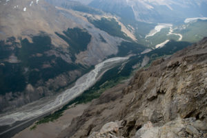
Upon arriving here, begin searching for a narrow, shallow area for crossing the creek. The creek seems to narrow near the lake, but this may change from year to year. The water is only knee-deep at most, but it is still advisable to seek shallow water, as there is a bit of a current. There are remnants of a makeshift crossing constructed of logs, rocks and other debris, but this is now unsafe. The water is painfully cold and the rocks are hard on bare feet, so neoprene water boots are highly recommended.
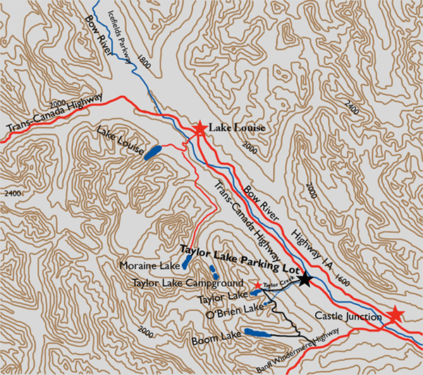
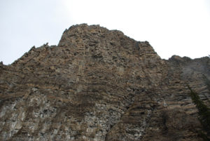
On the other side, after a brief encounter with a boulder field, you’ll find the trail evident and well marked. As with most scree slopes there are many trails, with sometimes one being better than the rest. Try to search out the most frequented, packed-down path if possible. Again, this may change from one year to another. Regardless, this is going to be a struggle even if a packed trail is found. However, since the mountainside is barren, the scenery is fantastic during the entire trip, so listen to your legs and stop frequently to turn around and take a look. Otherwise you really will be missing the point of being here. Directly below are Consolation Valley and the lakes, and across the valley is the Tower of Babel, Mount Babel and Mount Fay. Mount Temple is in full view 5.7 km to the northwest.
The incline becomes slightly steeper close to the top, but not for long. The ridge and summit are composed of rock and boulders, making the ridge walk somewhat annoying. If you are not happy with the top of the ridge as your summit, then toil over the boulders for another 1.8 km to reach the true summit 56 m higher.
History
Consolation Valley Trail, which leads to the trailhead of Panorama Ridge, was first explored and then named by Walter Wilcox and Ross Peacock in 1899. There is not much information available about that expedition, but written records show they named this valley as a contrast to the neighbouring “Desolation Valley.” Desolation Valley, given its name by Samuel E.S. Allen, would be renamed Valley of the Ten Peaks a short time later. Wilcox wrote, “We were very much pleased with the place, and Ross suggested that, since the other was called Desolation Valley, we might call this ‘Consolation Valley,’ a name that seemed quite appropriate.”
Directions
From the Lake Louise village drive up Lake Louise Drive toward the Chateau and turn left on Moraine Lake Road. Continue to the Moraine Lake parking lot, approximately 12 km from the turnoff. Find the trail on the south side of the lot behind the public toilets. The trail crosses the Moraine Lake outlet stream and intersects a fork in the trail without delay. The way is clear, as signs will direct you to the left toward Consolation Lakes 2.9 km up the main trail. There is a 65 m elevation gain over the course of this 2.9-km hike.